.jpg)
Wagons on to Moab, UT
You can see from the above map our route from Farmington to Four Corners and then to the Canyonlands NP.

We had some fun leaving Farmington when we stopped at the NC Ribble Co. Farmington Branch. The store is now occupied by the John Deere Dealer. We opened this branch operation in 1968, and it proved to have been a very timely decision. We had a terrific associate in Dale Nettleton, who managed this operation. The Four Comers area with the oil, gas, mining, and construction industries generated a great market. Dale a seasoned veteran in marketing and service, along with his team, and paved the way to the success of the branch throughout the four corners area.

Robin even found an old memory. Her first job after graduating from Hardin Simmons University was with Guld Oil. She was with them three years, but when Gulf merged with Chevron Oil, and she elected not to move to San Franciso.
This station was in Shiprock. We remarked that we had not seen a Gulf sign in years. It was worth the stop just for this photo.
Four Corners Monument

Four Corners is the only place in the United States, where there is a common corner for (4) States. These being New Mexico, Arizona, Colorado and Utah. The Monument is located within the Navajo Nation. It is now closed to visitors. Covid-19 devastated the Navajo people, and it is understandable that the Nation being very protective and cautious..
I am enclosing a photo or two that we took 10 years ago, when we here with our two of our Granddaughters.


Here are the ladies on the Monument 2011, 10 years ago. Dottie, Kylee and Raulin. Kylee made it to all four states in the same breath. Kylee is our son Carson's daughter and Raulin our daughter Robin's daughter.
Time flies in a hurry, Raulin just received her MBA from Leeds University in NYC and is working in the city. Kylee is a Sophomore at Colorado State University.
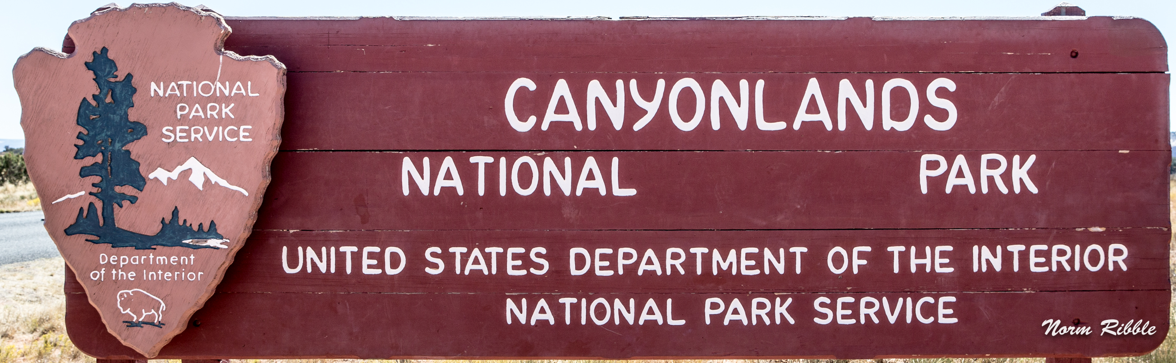
The Conyonlands National Park
\

We are looking West. The river you see in the bottom of the canyon is the Green River, and we are at about 6,000'. Several miles south of this point but still in the Park the Green River converges with the Colorado River.

OH! Just one more photograph of the beautiful Green River.

Robin and Renee are now studing the view to the East to the La Sal Mountains and the Colorado River.
 ver???
These canyons flow to the east leading to the Colorado River. This is really the beginning of the Grand Canyon What marvels water and wind have carved over the centuries.

You see a Jeep or ATV trail from the rim into the canyon. These probably were exploration trails from the early 1930's, when prospectors were scouring these canyons for several different minerals, specifically gypsum and uranium. There was a large uranium ore processing plant on the north edge of Moab. The site has now been enviromentally cleaned and sealed.

And the wind and the water came swirling down the canyon.

This old juniper gave up life in the high desert. When oh maybe 50 tp 75 years ago. Today they stand as great models for photographers. Too, the Park Rangers used them in a very effective way for traffic control. If there is a wide spot, we'll try to park even if half our vehicle is on the paving mat. But when the Ranger places an ole juniper in that wide area, that juniper rules and the parking is under control.

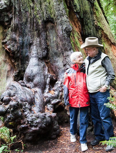
Miss Dottie doesn't miss a thing.

Is this all we see from the top of the mesa?

No! No! Look at the capture that Jim took off the White Rim Trail on the Potash Road. The image was shot where the puddle was some 8 or 10 meters back from the Rim, where it overlooks Shafer Canyon. 'Jim aka Cany143' is a photographer, but until retirement was a Park Ranger at the Canyonlands NP. Cany 143 lives in the Moab area and regularlly posts his photographic art on the Ugly Hedge Hog, a photo blog that we both follow.
I was writing this Travel Log, when Cany 143 posted this beautful photograph on the UHH site. I asked for his permission to include this photo giving you another aspect of the Canyonlands NP.. Gracias Amigo.
Just in case you might be interested in learning from a great community of Phographers tune in to the Hog by clicking on Ugly Hedge Hog.

I reached out with a 200mm lens to bring you right into the heart of the Canyon where it joins the Colorado River. This photo grabs ones heart and won't turn loose.
The Colorado and the Green Rivers converge not far from this point in the middle of the Canyonlands Park. Combined they flow southwest about 100 miles to Lake Powell. The Colorado River exiting Lake Powell has another 50 mile journey before the beginning of its etching of the Grand Canyon.
Western National Parks in 2016
We covered our visit to Canyonlands in our RV tour of 2016, and you might enjoy the details we explored then.
Click CANYONLANDS NP and this link will take you back to our website and 2016.
Renee has arranged us to have a nice three-bedroom Airbnb in Moab for a couple of nights, so we'll call it a day. We will all start fresh in the morning scouting the Colorado River basin and the Arches NP.
Till morning.
Come on Willie sing us another verse and we'll head on down the road.